
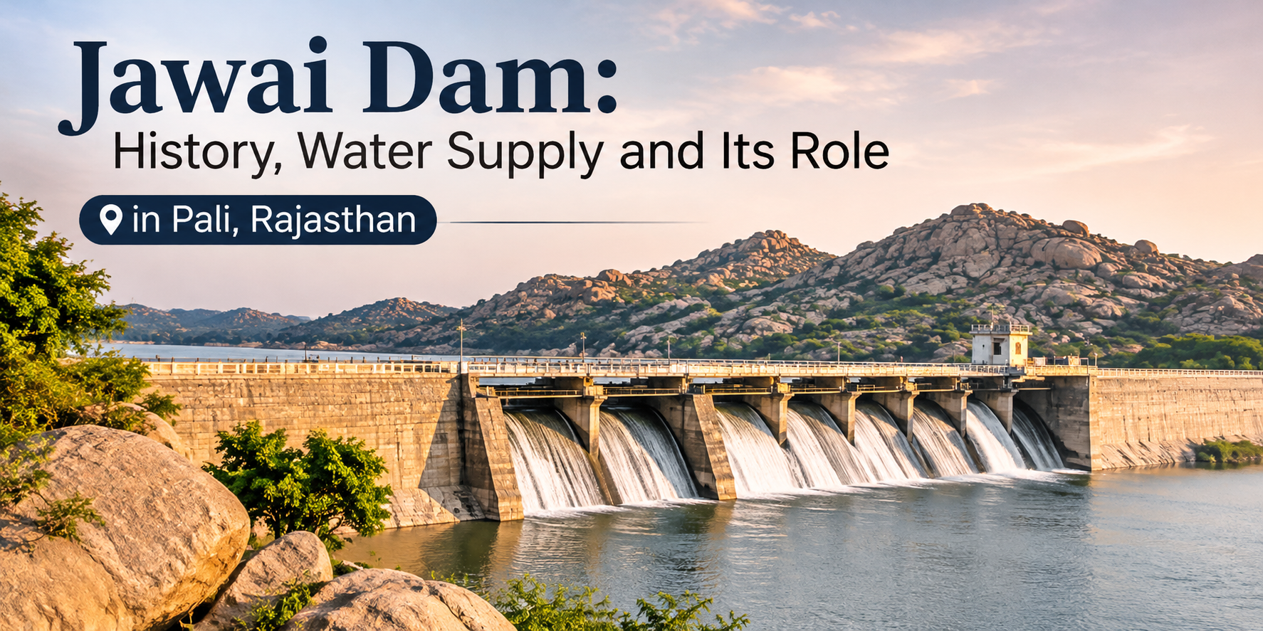
Jawai Dam, also known as Jawai Bandh, is more than a scenic stretch of water beside the granite hills of Rajasthan. Built across the Jawai River in Pali district, it is an important water-storage project whose purpose is closely connected with the needs of nearby towns, villages and agricultural land. Understanding that role adds another layer to a visit: the reservoir is not simply a backdrop for photographs, but part of the working water system of western Rajasthan.
The dam lies near Sumerpur in Pali district. The Jawai River is a tributary of the Luni River, and the reservoir sits within a semi-arid region where rainfall and river flow vary considerably. This guide explains the dam’s history, its engineering and water-supply role, how it relates to the wider Jawai landscape, and how visitors can explore the area responsibly.
Where is Jawai Dam located?
Jawai Dam is near Eranpura village in Sumerpur tehsil, Pali district. A Rajasthan Water Resources Department report prepared for the World Bank places the project about 13 kilometres from Sumerpur town and 90 kilometres from Pali city. These are project-site reference distances; check the route to your own accommodation or viewpoint before travelling.
The dam is built across the Jawai River, a part of the Luni river system. Its water level depends on rainfall, catchment conditions, inflows and managed operations, so the shoreline can look very different between visits.
When was Jawai Dam built?
Construction of the Jawai Dam project began in 1946 and was completed in 1957, according to the Rajasthan Water Resources Department’s project due-diligence report. The project was developed to store water for irrigation and drinking-water needs in a region where dependable water resources are especially important.
The distinction between the construction period and the reservoir’s day-to-day operation matters. A dam is a long-term piece of public infrastructure. Its value is measured not only by the view from the embankment, but by how water is stored, managed and conveyed to the areas it is intended to serve.
What is Jawai Dam used for?
Drinking-water supply
One of the project’s principal purposes is to support drinking-water supply. The 2020 project report records an annual water-supply figure of 54.89 million cubic metres for a population of about 15.18 lakh. Treat this as a figure documented in that project report, not as a live statement of the amount being delivered today. Actual supply arrangements and availability can change with rainfall, storage, demand and government operations.
For Pali district, this role is significant because water security is a practical concern in a semi-arid environment. Reservoir storage helps provide a managed source that can be conveyed to towns and villages through the wider water-supply network. The dam is one part of that system; pipelines, treatment facilities, distribution infrastructure and local management are also needed before stored water reaches a household.
The Jal Jeevan Mission’s Jawai Dam source profile currently lists three linked drinking-water schemes, 21 villages, 9,695 functional household tap connections and 54 schools benefited. The profile marks the listed schemes as ongoing. These are programme-dashboard figures, not a guarantee of uninterrupted supply to every connection; they show why the distribution network beyond the reservoir matters too.
Irrigation and agriculture
Jawai Dam also supports irrigation. The project report lists a gross command area of 46,271 hectares and a culturable command area of 38,671 hectares. These are project-area figures recorded in the technical report. They describe the area associated with the irrigation scheme, not a promise that every field receives water in every season.
This is important in western Rajasthan, where farming must respond to rainfall, storage, crop needs and allocation decisions. Low inflows can constrain the amount available for different uses. A large reservoir does not mean water is unlimited or abundant in every season.
How large is the Jawai reservoir?
The same 2020 project report records a catchment area of about 787.36 square kilometres and a reservoir spread area of about 25.90 square kilometres. It lists gross storage of 207.48 million cubic metres and live storage of 193.48 million cubic metres. These are technical project specifications from the report, not the current water level or the amount stored on the day you visit.
Gross storage is the total designed capacity up to a specified level; live storage is the portion intended to be available for use above the minimum drawdown level. Neither figure tells visitors the current water level. For a live update, rely on an official Water Resources Department notice rather than an old photograph or social-media post.
Why does the water level change?
Jawai is in a region where rivers and streams are strongly influenced by seasonal rainfall. The amount of water entering the reservoir can vary from year to year. Rainfall over the catchment, runoff from surrounding slopes, upstream storage and diversions, evaporation, water demand and releases all influence the level.
This is why the reservoir can look very different across seasons. After a good monsoon, water may extend across a broader area and reflect the surrounding hills. During drier periods, the waterline may retreat and expose rocky or muddy margins. Neither appearance should be treated as a permanent feature of the destination.
Water releases and dam operations serve public purposes. A spillway, gate or embankment is operational infrastructure, not a recreational facility. Do not enter restricted areas, climb barriers or approach moving water.
How does Jawai Dam connect with the wider landscape?
The reservoir sits among granite hills, scrub, agricultural land and settlements. The contrast between open water and rocky slopes is part of what makes Jawai Bandh visually distinctive.
Its margins may also attract birds when suitable shallow-water habitat is available, but wildlife presence changes with season and conditions. Keep a respectful distance, avoid disturbing feeding or resting birds, and leave no litter.
Jawai is working countryside. Give residents, livestock and farm vehicles space, ask before photographing people or private property, and use local guidance to understand which places are open to visitors.
What can visitors do around Jawai Bandh?
Include the reservoir as part of a wider Jawai visit. Enjoy the view from an authorised public viewpoint, notice how the water meets the granite terrain, or arrange a suitable outing through your accommodation or a knowledgeable local guide.
Confirm access before setting out. A viewpoint in an old photograph may be on private land, near operational infrastructure or unsuitable under current conditions. Do not assume the dam wall, spillway, canal or shoreline is open for unrestricted entry. Follow signs and local instructions. For more destination context, visit About Explore Jawai.
Responsible ways to experience the reservoir
Carry your waste back, avoid loud music, do not feed wildlife and keep vehicles on established routes. Never drive onto an exposed lakebed or soft shoreline simply because it looks dry; ground conditions can be unstable.
Do not fly a drone near wildlife, settlements or infrastructure unless the flight is lawful and specifically authorised. Avoid flash or artificial lights to locate animals, and follow a guide’s instructions around sensitive areas.
The reservoir serves local needs first. Sightseeing should never interfere with water operations, residents, farmers or wildlife.
Frequently asked questions about Jawai Dam
When was Jawai Dam completed?
The Rajasthan Water Resources Department’s 2020 project report records that construction began in 1946 and the project was completed in 1957.
What river does Jawai Dam hold back?
Jawai Dam is built across the Jawai River, a tributary of the Luni River in Rajasthan.
What is Jawai Dam mainly used for?
The project supports drinking-water supply and irrigation. The 2020 technical report records both uses and provides the project’s design and command-area figures.
Is Jawai Dam the same as Jawai Bandh?
Yes. Jawai Bandh is the commonly used local name for Jawai Dam and its reservoir.
Can visitors walk on the dam or near the gates?
Do not assume that operational parts of the dam are open to visitors. Use only authorised viewpoints and follow current local instructions and safety restrictions.
Is the reservoir always full?
No. Water levels change with monsoon rainfall, inflows, evaporation, demand and managed releases. Check current official updates if the water level matters to your plans.
Can I see birds at Jawai Bandh?
Birds may use suitable reservoir and shoreline habitats, but species and sightings vary by season and conditions. Observe quietly from permitted areas and never approach or disturb wildlife.
Understand the place beyond the view
Jawai Dam is an important part of Pali district’s water infrastructure as well as a defining feature of the local landscape. Its history, storage role and irrigation network explain why the reservoir matters to people well beyond the shoreline. When you visit Jawai Bandh, take time to appreciate both sides of the place: the striking meeting of water and granite, and the public water system that makes the reservoir valuable to the region.